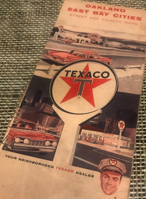
Maps were as easy to find as a gas station.
Texaco Map from 1962
Maps would have a Legend that told you how to read the important details you might need. The scale tells you how many miles per inch and show you the types of road you be driving on.
The map would have compass telling you how it was oriented to the real world.
You find your destination on the list looking up the corresponding reference code. Let's go to Ben Lomond, L-3.
...then trace the path along Section L until to reach Section 3. Then hunt in that box for your destination.
Maps are important historical documents. This one also provides Population information. The Population of Oakland was 367,548 in 1962. Today it is 425,192. In 1962 the Population of San Jose was 204,196. Today San Jose's population is over 1 million.
Maps would also tell you driving distances between popular or important locations.


